Every day, thousands of residents walk or drive past environmental hazards. Most people notice them. Very few know where, or how, to report them.
What residents see every day
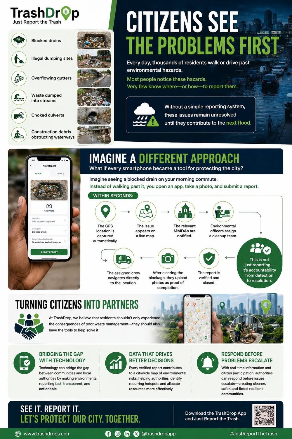
Blocked drains, illegal dumping sites, overflowing gutters, waste dumped into streams, choked culverts and construction debris blocking waterways. Without a simple way to report them, these issues stay unresolved until they contribute to the next flood.
Imagine a different approach
What if every smartphone became a tool for protecting the city? You see a blocked drain on your morning commute. Instead of walking past it, you open the app, take a photo and submit a report.
Within seconds
The GPS location is captured automatically. The issue appears on a live map. The relevant MMDAs are notified. Environmental officers assign a cleanup team. The crew navigates directly to the location, clears the blockage and uploads photos as proof. The report is verified and closed. This is not just reporting: it's accountability from detection to resolution.
Turning citizens into partners
Residents shouldn't only live with the results of poor waste management. They should also have the tools to help solve it. Technology bridges the gap between communities and local authorities by making environmental reporting fast, transparent and actionable. Every verified report adds to a citywide map that helps authorities find recurring hotspots and act before problems escalate.